Aerial, Hydro, Mobile, Static and Multi-Sensor Survey – we have great customers using 3DUserNetVISION for single sensor and combined multiple sensor projects across the spectrum.
A common theme seems to be how brilliant VISION is for integrating multiple different datasets from different sensors and software, so that a complete project can be visualised and worked on.
This seems to be increasingly the norm for survey professionals. Our independence from any hardware and software ecosystem means we are unique among platforms to be able to offer this.
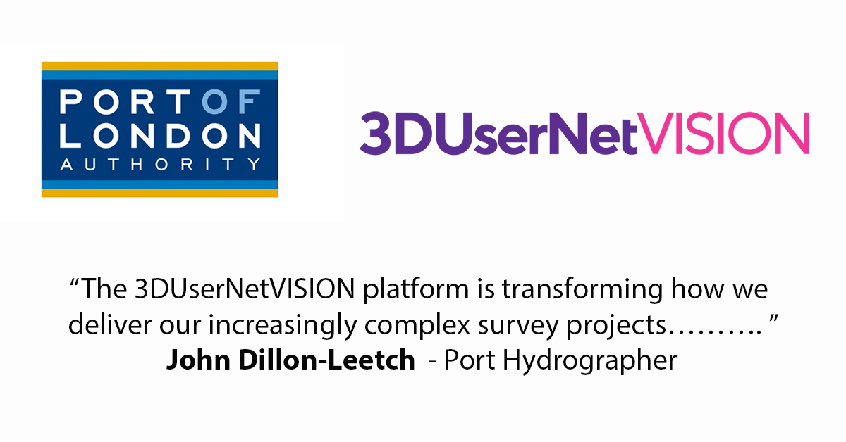
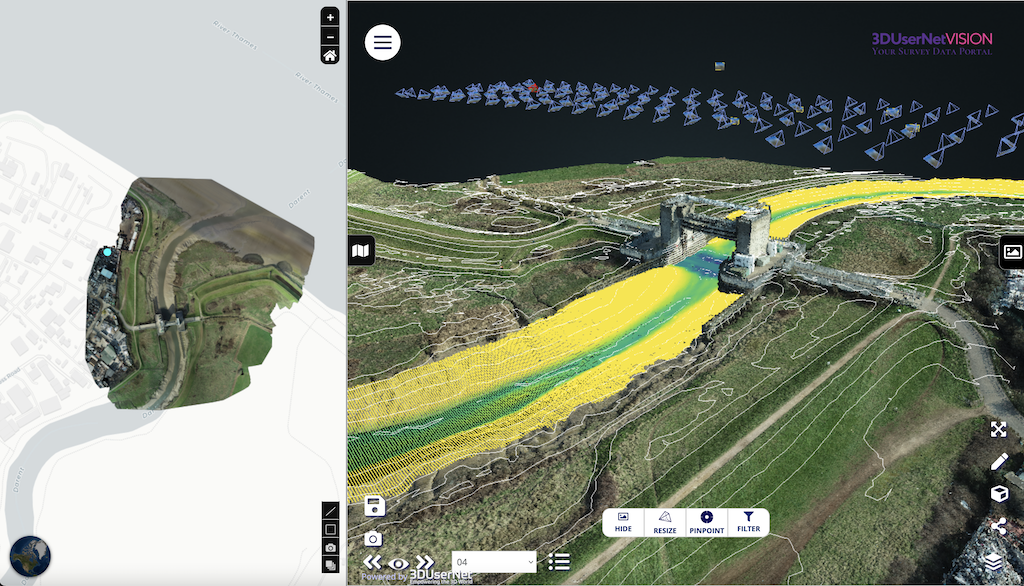
“The 3DUserNetVISION platform is transforming how we deliver our increasingly complex survey projects. Integrating our riverbed MBeS data with UAV and Terrestrial Images and Lidar into a single layered view, creating deliverables and sharing rapidly with customers such as National Grid, dramatically increases our efficiency”
John Dillon-Leetch – Port Hydrographer
“3DUserNet Vision’s capability to view and manipulate multi sensor derived data, whether it be mobile or static based photogrammetric or laser data is fantastic. To incorporate traditional CAD drawings alongside digital twin data whilst requiring no local software or downloading datasets is a game changer”.
Jason Hagon – Data Processor & GIS Analyst – Geodrone Survey Ltd
“We had been searching for a web-based point cloud viewing package for well over a year but none of them had the right fit. Along came 3DUsenetVISION and it ticked all the boxes. We are now finally able to deliver online all the work that we undertake on a project.
Our clients now have their survey data at the tip of their fingers and can fully engage with it. They are no longer receiving a stripped back pdf plan, but now a full detail interactive space with so much more information.
This is all thanks to 3D Usernet VISION and hopefully the great feedback from our clients continues”.
Tim Williams – Principal Hydrographer – Total Hydro
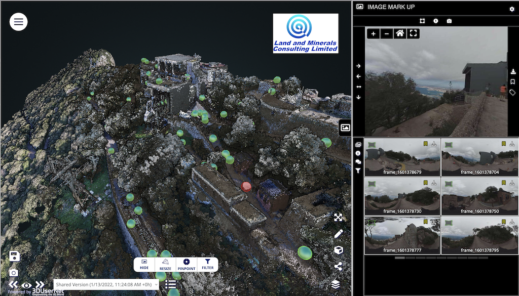
“3DUserNet Vision is a great tool that all of us at LMCL use regularly. The ability to upload data to a portal that can be accessed by anyone with an internet connection proved crucial for our Gibraltar Rock project in particular.
The seamless flow path from Reconstructor made it very simple and easy to merge both the UAV and LiDAR data to show the client all the data that had been captured. It worked well to showcase everything and it aided in deciding the next steps for the project, including helping the client decide on a list of final deliverables.
The platform also works well to showcase our highly-detailed data to potential clients as they can easily see all that we at LMCL are capable of.
Adrian Wilkinson – Managing Director
“3DUserNetVISION has been fundamental in allowing our clients to access and visualise the 3D pointclouds produced for their assets. In addition the information used is as part of pre site visits for new contractors and defining scopes of work.”
Damian Bates – Director for and on behalf of Digitising Reality Ltd